MINDANAO, Philippines — The Philippine Atmospheric, Geophysical and Astronomical Services Administration has forecast generally fair but unstable weather conditions across Mindanao, with localized thunderstorms expected to trigger isolated rain showers and potential hazards over the next 24 hours.
In its latest regional forecast issued at 5:00 a.m. on April 20, PAGASA said the entire island will experience partly cloudy to cloudy skies, with weather disturbances driven primarily by localized thunderstorms. While much of the day may remain dry, sudden downpours are expected, particularly in the afternoon and evening.
Authorities warned that severe thunderstorms could lead to flash floods and landslides, especially in low-lying and mountainous areas. Residents are advised to remain alert for rapidly changing weather conditions.
Winds and Coastal Conditions
Moderate winds from the northeast will prevail over the eastern section of Mindanao, bringing moderate sea conditions with wave heights ranging from 1.2 to 2.1 meters. Elsewhere, lighter winds from the northeast to east will result in slight to moderate seas, with waves between 0.6 and 1.5 meters.
Fisherfolk and small seacraft operators, particularly along the eastern seaboard, are urged to exercise caution due to potentially rougher waters.
Regional Outlook
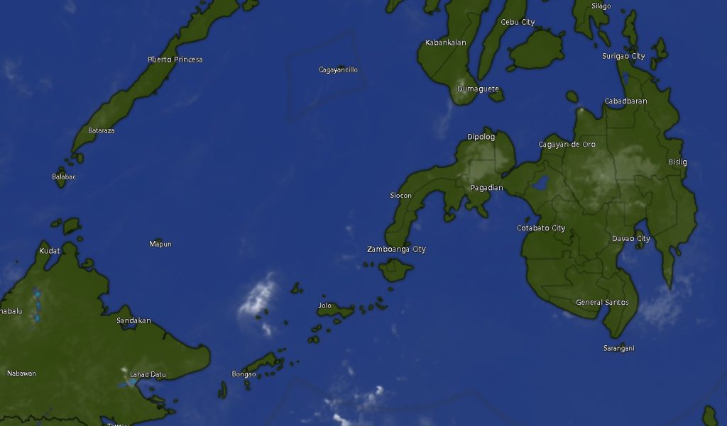
Across the Zamboanga Peninsula, including Zamboanga City, Zamboanga del Norte, Zamboanga del Sur, and Zamboanga Sibugay, residents can expect intermittent rain showers with temperatures ranging from 22°C to 35°C. Coastal waters will generally remain slight to moderate, though occasional rough conditions may occur.
In Northern Mindanao, including Bukidnon, Camiguin, Lanao del Norte, Misamis Occidental, and Misamis Oriental, similar weather patterns will prevail, with temperatures between 22°C and 33°C.
The Davao Region, covering Davao City, Davao del Norte, Davao del Sur, Davao Oriental, Davao de Oro, and Davao Occidental, will experience moderate northeast winds and temperatures ranging from 23°C to as high as 35°C. Coastal waters in the region will remain moderate.
In the SOCCSKSARGEN area—covering North Cotabato, South Cotabato, Sultan Kudarat, and Sarangani—temperatures may reach up to 35°C, with light to moderate winds and occasional thunderstorms.
Meanwhile, the Caraga Region, including Agusan del Norte, Agusan del Sur, Surigao del Norte, Surigao del Sur, and Dinagat Islands, will see moderate winds and seas, with temperatures ranging from 21°C to 34°C.
BARMM Areas
In the Bangsamoro Autonomous Region in Muslim Mindanao (BARMM), including Cotabato City, Basilan, Sulu, Tawi-Tawi, Lanao del Sur, Maguindanao del Norte, and Maguindanao del Sur, partly cloudy to cloudy skies with scattered thunderstorms are also expected. Temperatures will range from 21°C to 35°C, with generally slight to moderate sea conditions.
Public Advisory
PAGASA reiterated its call for vigilance, particularly in communities prone to flooding and landslides. Local disaster risk reduction offices are also advised to monitor weather updates and prepare for possible emergency responses.
While no major weather disturbance such as a tropical cyclone is currently affecting the country, the state weather bureau emphasized that localized thunderstorms can still bring significant impacts.
Residents are encouraged to stay updated through official PAGASA bulletins and take precautionary measures when severe weather develops.