MINDANAO, Philippines — The Philippine Atmospheric, Geophysical and Astronomical Services Administration has warned of cloudy skies, scattered rains, and possible hazards across large parts of Mindanao as the easterlies continue to affect the region, according to its latest regional weather forecast issued early Tuesday, May 5.
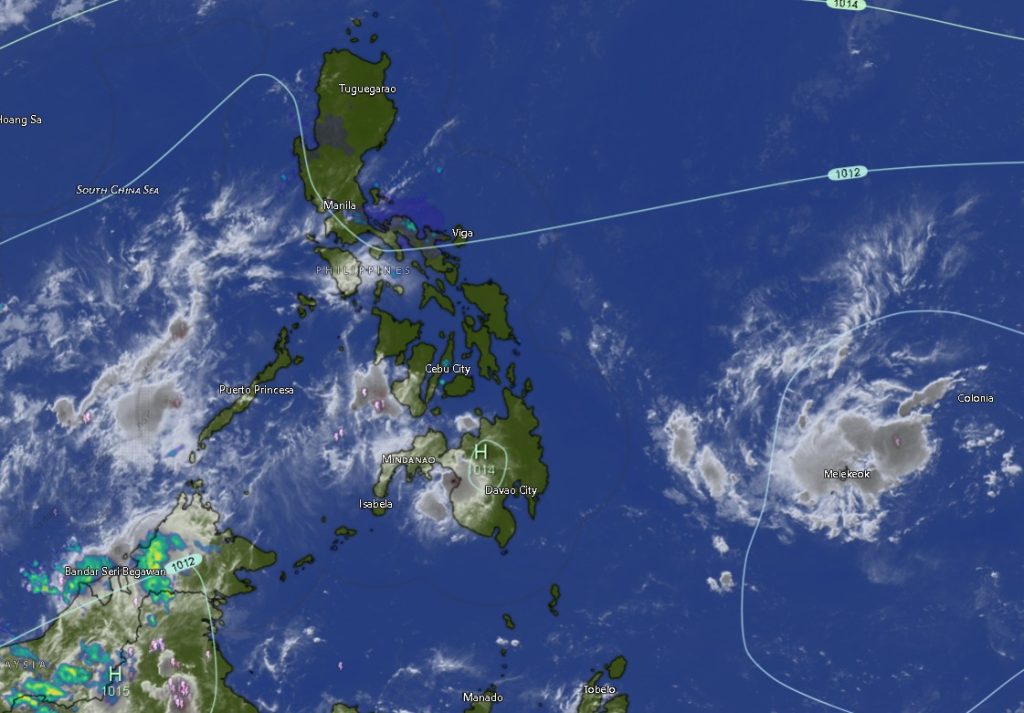
The weather system is expected to bring the most significant impact to the Zamboanga Peninsula, where cloudy skies with scattered rainshowers and thunderstorms will persist throughout the day. PAGASA cautioned that moderate to at times heavy rainfall could trigger flash floods and landslides, particularly in low-lying and mountainous areas.
Affected areas include Zamboanga City, Zamboanga del Norte, Zamboanga del Sur, Zamboanga Sibugay, and Isabela City, all of which are forecast to experience persistent cloud cover and thunderstorms. Temperatures in these areas will range from 24°C to 35°C, with light to moderate winds coming from the east to northeast and slight to moderate coastal conditions, with waves between 0.6 to 2.1 meters.
Rest of Mindanao: Isolated Thunderstorms, Warm Conditions
Meanwhile, the rest of Mindanao—including Northern Mindanao, Davao Region, SOCCSKSARGEN, Caraga, and the Bangsamoro Autonomous Region in Muslim Mindanao (BARMM)—will experience partly cloudy to cloudy skies with isolated rainshowers or thunderstorms, also driven by the easterlies.
In Bukidnon, Camiguin, Lanao del Norte, Misamis Occidental, and Misamis Oriental, temperatures will range between 20°C and 33°C, with generally fair conditions interrupted by localized thunderstorms.
Similar weather patterns are expected across the Davao Region, including Metro Davao, Davao del Norte, Davao del Sur, Davao Oriental, Davao de Oro, and Davao Occidental, where daytime temperatures may reach up to 35°C.
In the SOCCSKSARGEN region, including North Cotabato, South Cotabato, Sultan Kudarat, and Sarangani, as well as in Cotabato City, weather conditions will remain generally fair but with chances of sudden rainshowers or thunderstorms. Temperatures will range from 23°C to 34°C.
Caraga and BARMM Areas Also Affected
In the Caraga region—covering Agusan del Norte, Agusan del Sur, Surigao del Norte, Surigao del Sur, and Dinagat Islands—residents can expect similar partly cloudy to cloudy skies with isolated thunderstorms and temperatures reaching up to 35°C.
The BARMM provinces, including Basilan, Lanao del Sur, Sulu, Tawi-Tawi, Maguindanao del Norte, and Maguindanao del Sur, will also experience comparable conditions, with intermittent rainshowers and thunderstorms and temperatures ranging from 20°C to 34°C.
Sea Conditions and Wind Advisory
Across Mindanao, winds will remain light to moderate, generally blowing from the east to northeast. Coastal waters are expected to be slight to moderate, with wave heights ranging from 0.6 to 2.1 meters, making conditions manageable for small seacraft but still requiring caution during thunderstorms.
Public Advised to Stay Alert
PAGASA urged residents, particularly in the Zamboanga Peninsula, to remain vigilant against possible flooding and landslides, especially in areas prone to these hazards. Those living near rivers, coastal zones, and mountainous regions are advised to monitor local advisories and take precautionary measures.
The weather bureau also reminded the public that isolated thunderstorms in other parts of Mindanao may develop rapidly and bring sudden heavy downpours, lightning, and gusty winds.
For updates, PAGASA encouraged the public to regularly check official bulletins and advisories as weather conditions may change throughout the day.