
GENERAL SANTOS CITY, Philippines — Residents across Mindanao should prepare for scattered rain showers and localized thunderstorms on Thursday, October 22, with the Philippine Atmospheric, Geophysical and Astronomical Services Administration (PAGASA) warning of possible flash floods and landslides in areas affected by severe thunderstorms.
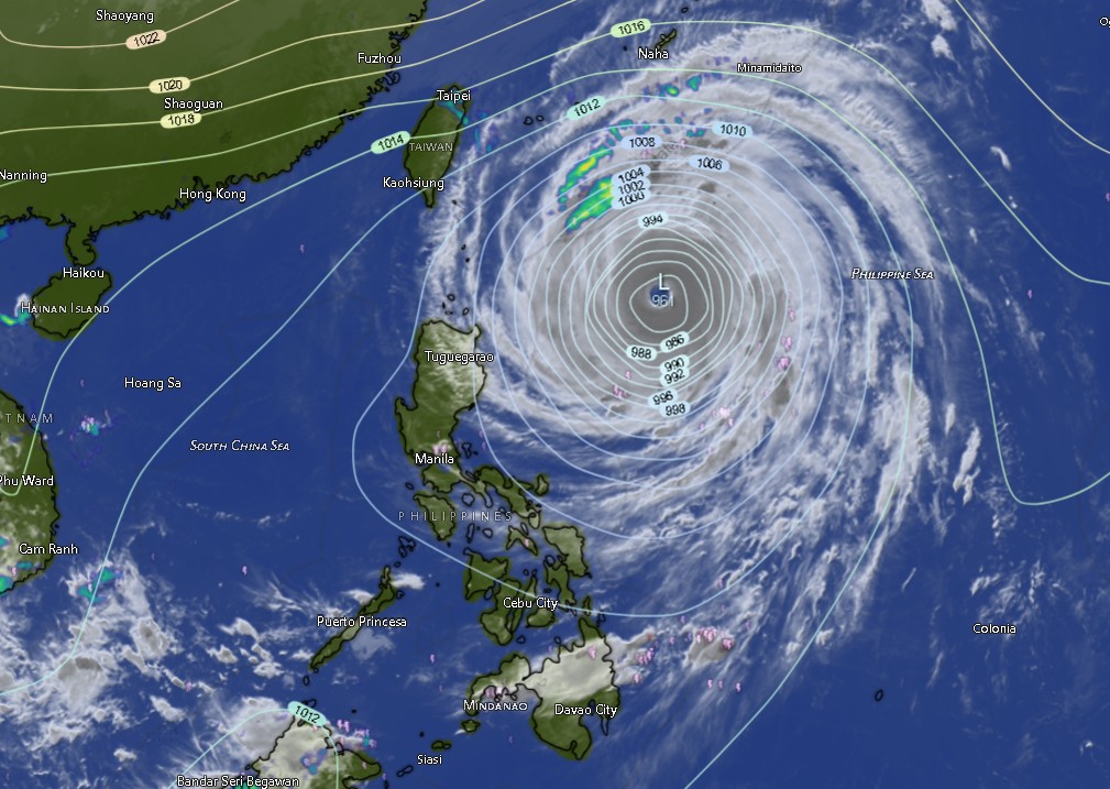
In its 5 a.m. regional weather forecast issued on October 22, PAGASA’s Mindanao unit (MINPRSD) said the island would experience partly cloudy to cloudy skies, with isolated rain showers or localized thunderstorms throughout the forecast period, which runs from 5 a.m. Thursday until 5 a.m. Friday, October 23.
The forecast indicates that rainy conditions could affect communities across the Zamboanga Peninsula, Northern Mindanao, Davao Region, SOCCSKSARGEN, Caraga and the Bangsamoro Autonomous Region in Muslim Mindanao (BARMM).
Although not all areas are expected to experience continuous rainfall, localized thunderstorms may bring sudden downpours that could cause flooding in low-lying and poorly drained communities. Landslides are also possible in mountainous areas and locations with unstable slopes, particularly where heavy rain occurs.
PAGASA’s warning highlights the importance of monitoring changing weather conditions, especially for residents living near rivers, creeks, steep slopes and other areas vulnerable to rain-induced hazards.
Temperatures to reach 35°C in parts of Mindanao
Despite the possibility of rain and thunderstorms, daytime temperatures are expected to remain warm in many provinces, with several areas forecast to reach 34°C to 35°C.
In the Zamboanga Peninsula, Zamboanga City is expected to experience temperatures of 25°C to 33°C, while Zamboanga del Norte could reach 34°C. Zamboanga del Sur is forecast to record temperatures between 25°C and 33°C, while Zamboanga Sibugay and Isabela City may experience highs of 34°C.
Across Northern Mindanao, Bukidnon is expected to remain relatively cooler, with temperatures ranging from 19°C to 30°C. Camiguin could reach 34°C, while Lanao del Norte, Misamis Occidental and Misamis Oriental may experience maximum temperatures of around 33°C.
In the Davao Region, Metro Davao is forecast to record temperatures between 25°C and 33°C. Davao del Norte could reach 33°C, while Davao del Sur and Davao de Oro may experience highs of 34°C to 35°C. Davao Occidental is expected to have temperatures between 23°C and 31°C.
Davao Oriental is forecast to experience temperatures of 24°C to 33°C, accompanied by moderate to rough coastal conditions.
In SOCCSKSARGEN, North Cotabato is expected to reach 34°C, while South Cotabato and Sultan Kudarat may experience highs of 34°C and 33°C, respectively. Sarangani is forecast to have temperatures between 26°C and 31°C.
Caraga provinces will also experience warm conditions. Agusan del Norte and Agusan del Sur could reach 35°C, while Surigao del Norte may record temperatures between 27°C and 34°C. Surigao del Sur is forecast to reach 35°C, while the Dinagat Islands could experience temperatures of 27°C to 35°C.
In BARMM, Cotabato City is forecast to record temperatures between 24°C and 32°C. Basilan could reach 34°C, while Lanao del Sur is expected to remain cooler, with temperatures between 21°C and 30°C. Sulu and Tawi-Tawi may experience maximum temperatures of 31°C and 32°C, respectively. Maguindanao del Norte could reach 32°C, while Maguindanao del Sur may record highs of 33°C.
Northwest to southwest winds expected
PAGASA said light to moderate winds from the northwest to southwest would prevail across Mindanao during the forecast period.
Coastal waters are generally expected to remain slight to moderate, with wave heights ranging from 0.6 to 2.5 meters under the regional forecast.
However, coastal conditions are forecast to be moderate to rough in Davao Oriental, Surigao del Norte and the Dinagat Islands. These conditions warrant particular attention from fishing communities, small-vessel operators and other people whose livelihoods or activities depend on the sea.
Seafarers and fishers are advised to consider actual local sea conditions before heading out, particularly when thunderstorms develop or visibility deteriorates. Sudden changes in weather can pose additional risks even in areas where the general forecast indicates relatively manageable conditions.
Residents urged to take precautions against flooding and landslides
With thunderstorms possible across the island, residents are advised to remain alert to weather developments and follow announcements from local government units and disaster risk reduction and management offices.
People in flood-prone communities should watch for rapidly rising water levels and avoid crossing flooded roads, rivers and streams. Residents near steep slopes should be alert to signs of possible landslides, including ground cracks, unusual soil movement and sudden changes in water flow.
Motorists should exercise caution during heavy rain because reduced visibility and slippery roads can increase the risk of road accidents. Outdoor workers and people planning travel should also be prepared for sudden rain showers.
Local authorities are encouraged to monitor vulnerable areas and ensure that emergency communication and response arrangements are ready should severe thunderstorms trigger flooding or landslides.
PAGASA’s forecast does not mean that all communities will experience hazardous conditions simultaneously. Rainfall and thunderstorm activity may vary from one locality to another, making continued monitoring of local advisories important.