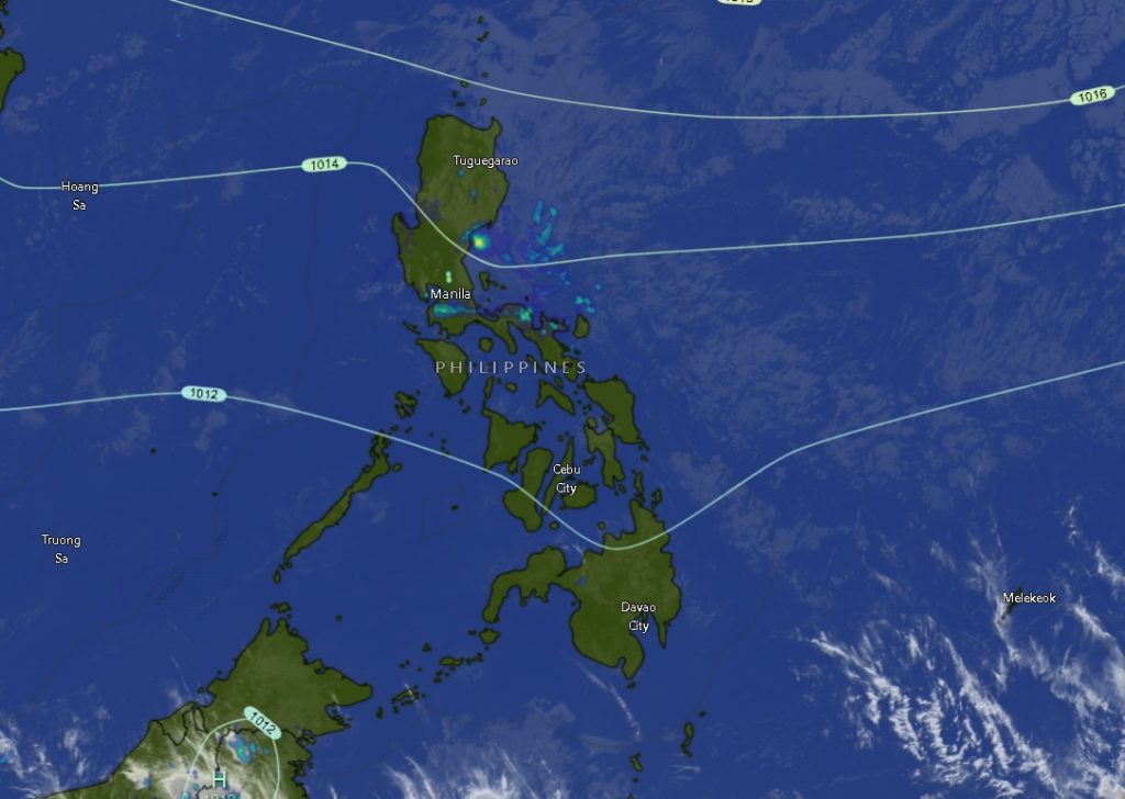
CAGAYAN DE ORO CITY — Large parts of Mindanao will experience partly cloudy to cloudy skies with isolated rain showers and thunderstorms over the next 24 hours due to localized thunderstorms, according to the latest regional weather forecast issued at 5:00 a.m. on March 17 by the Philippine Atmospheric, Geophysical and Astronomical Services Administration (PAGASA).
The weather advisory, issued by PAGASA’s Mindanao Regional Services Division, covers the period from 5:00 a.m. Tuesday until 5:00 a.m. Wednesday, warning residents of possible flash floods or landslides in areas that may experience severe thunderstorms.
Eastern Mindanao to Experience Stronger Winds and Rough Seas
PAGASA said the eastern section of Mindanao—including parts of the Caraga and Davao regions—will experience moderate to strong winds blowing from the northeast to north. These conditions are expected to produce moderate to rough seas ranging from 2.1 to 3.4 meters.
Fisherfolk and small sea vessels are advised to exercise caution when venturing out to sea due to potentially hazardous marine conditions.
Meanwhile, the rest of Mindanao will experience lighter weather conditions with light to moderate winds coming from the northeast to north and slight to moderate sea conditions ranging from 0.6 to 2.5 meters.
Zamboanga Peninsula to See Intermittent Thunderstorms
In the Zamboanga Peninsula, including Zamboanga City, Isabela City, and the provinces of Zamboanga del Norte, Zamboanga del Sur, and Zamboanga Sibugay, skies will remain partly cloudy to cloudy with occasional rain showers and thunderstorms.
Temperatures in the region are expected to range from 20°C to 33°C, depending on the province. Coastal waters will remain slight to moderate, accompanied by light to moderate winds from the northeast.
Northern Mindanao Weather Remains Generally Fair but Unstable
Northern Mindanao provinces such as Bukidnon, Camiguin, Lanao del Norte, Misamis Occidental, and Misamis Oriental will also experience partly cloudy skies with possible thunderstorms developing throughout the day.
Temperatures in the region may range from 18°C to 31°C, with moderate winds prevailing in coastal areas and generally moderate sea conditions.
Davao Region to Experience Stronger Winds
Areas in the Davao Region—including Davao City (Metro Davao), Davao del Norte, Davao del Sur, Davao Oriental, Davao de Oro, and Davao Occidental—are forecast to experience stronger winds compared to other parts of Mindanao.
Winds may reach moderate to strong levels from the northeast, generating moderate to rough seas along coastal waters. Temperatures across the region are expected to range between 21°C and 34°C, with intermittent rain showers and thunderstorms likely throughout the day.
SOCCSKSARGEN and BARMM to Experience Isolated Thunderstorms
In the SOCCSKSARGEN region, including North Cotabato, South Cotabato, Sultan Kudarat, and Sarangani, similar weather conditions will prevail with partly cloudy skies and isolated rain showers or thunderstorms.
Temperatures in these provinces may range from 22°C to 33°C, with light to moderate winds and slight to moderate sea conditions in coastal areas.
Meanwhile, areas in the Bangsamoro Autonomous Region in Muslim Mindanao (BARMM), including Cotabato City, Basilan, Lanao del Sur, Sulu, Tawi-Tawi, and the provinces of Maguindanao del Norte and Maguindanao del Sur, are also expected to experience scattered thunderstorm activity.
Temperatures in BARMM may range from 20°C to 34°C, with generally light to moderate winds and slight to moderate coastal waters, though some island provinces such as Sulu and Tawi-Tawi may experience moderate winds and seas.
Residents Advised to Stay Alert
PAGASA forecasters reminded residents to remain alert for sudden thunderstorms, which may bring heavy rainfall in short periods and could trigger localized flooding or landslides, particularly in low-lying and mountainous areas.
Local disaster risk reduction offices are also encouraged to monitor weather developments and advise communities, especially those living near rivers, slopes, and coastal areas.
The state weather bureau continues to monitor atmospheric conditions and will issue updates as necessary.