Mindanao, Philippines — January 31, 2026
Large portions of Mindanao are expected to experience cloudy skies, scattered rains, and thunderstorms over the next 24 hours as a shearline continues to affect the region, the Philippine Atmospheric, Geophysical and Astronomical Services Administration (PAGASA) said in its latest regional weather forecast.
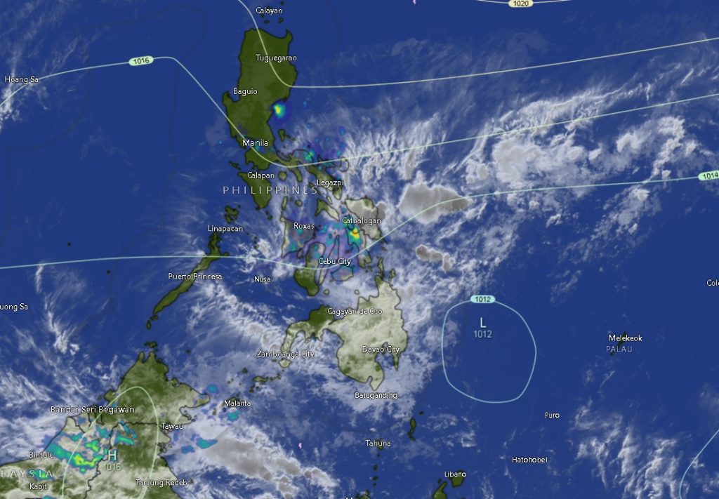
In its advisory issued at 5:00 a.m. on January 31, PAGASA-Mindanao (MINPRSD) reported that the Caraga Region, along with the provinces of Davao Oriental, Camiguin, and Misamis Oriental, will experience cloudy skies with scattered rains and isolated thunderstorms due to the shearline—a weather system formed by the convergence of cold and warm air masses.
Authorities warned that moderate to heavy rains in these areas may trigger flash floods and landslides, particularly in low-lying and mountainous communities.
Eastern Mindanao Faces Rough Seas
PAGASA further noted that moderate to strong winds coming from the Northeast to Northwest will prevail over the eastern sections of Mindanao, resulting in moderate to rough sea conditions with wave heights ranging from 1.8 to 3.4 meters. Fisherfolk and operators of small sea vessels were advised to exercise caution or avoid sailing, especially along the eastern seaboards of Caraga and Davao Oriental.
Elsewhere in Mindanao, light to moderate winds from the Northeast will dominate, with slight to moderate seas measuring 0.6 to 1.8 meters.
Localized Thunderstorms in Other Areas
The rest of Mindanao—including parts of Zamboanga Peninsula, Northern Mindanao, Davao Region, SOCCSKSARGEN, and BARMM—will generally experience partly cloudy to cloudy skies with isolated rainshowers or thunderstorms caused by localized thunderstorms. PAGASA cautioned that severe thunderstorms may still lead to sudden flooding or landslides, especially during periods of intense rainfall.
Provincial Weather Highlights
- Zamboanga Peninsula (Zamboanga City, Zamboanga del Norte, Zamboanga del Sur, Zamboanga Sibugay, Isabela City):
Partly cloudy to cloudy skies with rainshowers or thunderstorms; light to moderate northeast winds; slight to moderate coastal waters. Temperatures may range from 21°C to 34°C. - Northern Mindanao (Bukidnon, Lanao del Norte, Misamis Occidental):
Similar conditions with isolated rainshowers and thunderstorms; temperatures between 20°C and 32°C. - Camiguin and Misamis Oriental:
Cloudy skies with rainshowers and thunderstorms; possible heavy rains; temperatures ranging from 21°C to 29°C. - Davao Region (Metro Davao, Davao del Norte, Davao del Sur):
Partly cloudy to cloudy skies with rainshowers or thunderstorms; light to moderate winds. Temperatures may reach 32°C. - Davao Oriental:
Cloudy skies with rainshowers and thunderstorms; moderate to strong winds and moderate to rough seas; temperatures between 22°C and 30°C. - Caraga Region (Agusan del Norte, Agusan del Sur, Surigao del Norte, Surigao del Sur, Dinagat Islands):
Persistent cloudy skies with rainshowers and thunderstorms; moderate to strong winds; rough coastal waters. Temperatures range from 20°C to 29°C. - BARMM (Cotabato City, Basilan, Lanao del Sur, Sulu, Tawi-Tawi, Maguindanao del Norte and Sur):
Partly cloudy to cloudy skies with rainshowers or thunderstorms; generally light to moderate winds; temperatures from 20°C to 33°C.
Public Advisory
PAGASA urged local government units, disaster risk reduction offices, and the public to remain alert, particularly in areas prone to flooding and landslides. Residents were also advised to monitor official weather bulletins and heed warnings from authorities.
For updates and further information, the public may contact PAGASA through its official channels or visit bagong.pagasa.dost.gov.ph.