Mindanao — February 1, 2026
Residents across Mindanao are advised to stay alert as partly cloudy to cloudy skies with isolated rainshowers and thunderstorms are expected to prevail over the region from 5:00 a.m. today until 5:00 a.m. tomorrow, according to the latest Regional Weather Forecast issued by the Philippine Atmospheric, Geophysical and Astronomical Services Administration (PAGASA) – Mindanao (MINPRSD).
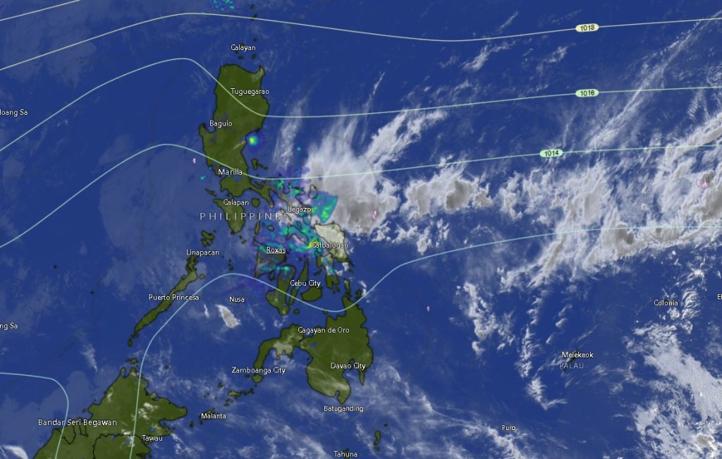
PAGASA said the prevailing weather condition is being influenced by localized thunderstorms, which may trigger sudden heavy downpours. These conditions pose risks of flash floods and landslides, particularly in low-lying areas, river basins, and landslide-prone mountainous communities, especially during periods of severe thunderstorms.
General Weather Outlook
Across Mindanao, winds are expected to be light to moderate, coming from the northeast to northwest. Coastal waters will generally be slight to moderate, with wave heights ranging from 0.6 to 2.5 meters. However, PAGASA warned that sea conditions may temporarily worsen during thunderstorms, posing potential risks to small fishing vessels and sea travel.
Daytime temperatures across the island may reach as high as 36°C in some areas, particularly in parts of SOCCSKSARGEN and BARMM, while cooler nighttime temperatures may drop to around 18°C in highland areas such as Bukidnon.
Zamboanga Peninsula
The provinces of Zamboanga del Norte, Zamboanga del Sur, Zamboanga Sibugay, Zamboanga City, and Isabela City are forecast to experience partly cloudy to cloudy skies with rainshowers or thunderstorms throughout the day and night. Temperatures may range from 21°C to 34°C. Coastal waters will remain slight to moderate, with light to moderate winds prevailing.
Northern Mindanao
Bukidnon, Camiguin, Lanao del Norte, Misamis Occidental, and Misamis Oriental will also see similar weather conditions, with occasional thunderstorms expected. Temperatures may range from 18°C to 33°C. In Camiguin and coastal provinces, sea conditions will remain slight to moderate, although brief rough conditions may occur during storms.
Davao Region
Metro Davao, Davao del Norte, Davao del Sur, Davao Oriental, Davao de Oro, and Davao Occidental are expected to experience partly cloudy to cloudy skies with scattered rainshowers and thunderstorms. Daytime temperatures may peak between 32°C and 34°C. Coastal areas will continue to experience slight to moderate sea conditions.
SOCCSKSARGEN
North Cotabato, South Cotabato, Sultan Kudarat, and Sarangani are forecast to have intermittent rainshowers or thunderstorms, with temperatures ranging from 21°C to as high as 36°C. Coastal areas will have slight to moderate seas, while inland communities are advised to monitor weather updates due to possible flash flooding.
Caraga Region
Agusan del Norte, Agusan del Sur, Surigao del Norte, Surigao del Sur, and Dinagat Islands will experience partly cloudy to cloudy skies with isolated rainshowers or thunderstorms. PAGASA noted that coastal waters in Agusan del Norte may become moderate to rough, urging caution among fishermen and small seacraft operators.
BARMM
The Bangsamoro Autonomous Region in Muslim Mindanao (BARMM), including Cotabato City, Basilan, Lanao del Sur, Maguindanao del Norte, Maguindanao del Sur, Sulu, and Tawi-Tawi, will continue to experience similar weather patterns. Temperatures may range from 20°C to 35°C, with coastal waters generally slight to moderate.
Public Advisory
PAGASA urged local government units and disaster risk reduction offices to remain on standby, particularly in areas historically vulnerable to flooding and landslides. The public is also advised to monitor official weather updates and heed warnings, especially during heavy rainfall and thunderstorms.
For further information and updates, PAGASA encouraged the public to visit bagong.pagasa.dost.gov.ph or contact the PAGASA hotline numbers at (02) 8922-1992 and (02) 8927-1335.