April 15, 2026
The Philippine Atmospheric, Geophysical and Astronomical Services Administration has warned of widespread localized thunderstorms expected to affect large parts of Mindanao over the next 24 hours, raising the risk of flash floods and landslides in vulnerable areas.
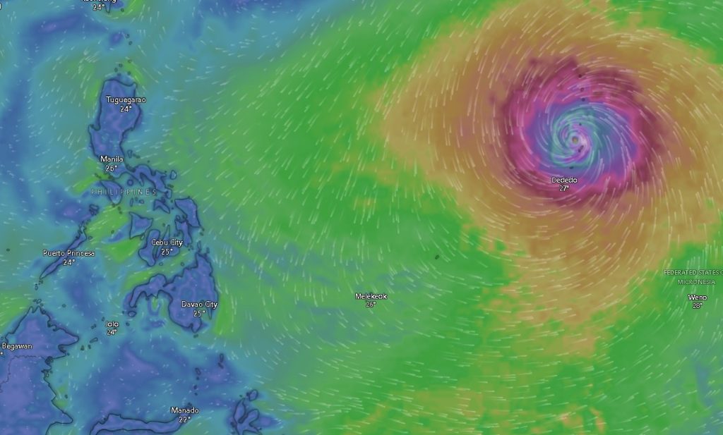
In its latest regional forecast issued at 5:00 a.m., PAGASA said Mindanao will experience partly cloudy to cloudy skies with isolated rainshowers or thunderstorms, primarily driven by localized weather systems. While conditions may appear fair for most of the day, sudden downpours and thunderstorms could develop, particularly in the afternoon or evening.
Flood and Landslide Risks
Authorities cautioned that severe thunderstorms may trigger flash floods or landslides, especially in low-lying and mountainous areas. Residents are advised to remain vigilant, particularly in communities with a history of flooding or soil instability.
Wind and Sea Conditions
Across the eastern section of Mindanao, winds will be light to moderate coming from the northeast to north, with sea conditions ranging from 1.0 to 2.5 meters, considered slight to moderate.
In the rest of Mindanao, similar wind patterns will prevail, with slightly calmer seas ranging from 0.6 to 1.8 meters.
Regional Outlook
Weather conditions will remain generally consistent across major regions, including the Zamboanga Peninsula, Northern Mindanao, Davao Region, SOCCSKSARGEN, Caraga Region, and the Bangsamoro Autonomous Region in Muslim Mindanao.
- In the Zamboanga Peninsula, including Zamboanga City and nearby provinces, temperatures will range from 23°C to 33°C, with intermittent thunderstorms.
- In Northern Mindanao, areas such as Bukidnon may experience a wider temperature range from 16°C to 35°C, indicating warmer daytime conditions.
- The Davao Region, including Metro Davao, will see temperatures between 25°C and 34°C, with occasional rainshowers.
- In SOCCSKSARGEN, provinces like South Cotabato and Sultan Kudarat will also experience similar weather patterns.
- The Caraga Region, including Surigao del Norte, may see coastal conditions with slight to moderate seas and temperatures ranging from 24°C to 32°C.
- In BARMM, including Cotabato City, temperatures could peak as high as 36°C, coupled with intermittent thunderstorms.
Public Advisory
PAGASA urges residents, especially farmers, fisherfolk, and those in disaster-prone areas, to monitor weather updates closely and take precautionary measures against sudden thunderstorms. Small sea vessels are also advised to exercise caution due to moderate sea conditions.
The weather bureau continues to monitor developments and encourages the public to stay informed through official channels for updates.