The Philippine Atmospheric, Geophysical and Astronomical Services Administration (PAGASA) said Mindanao and the rest of the country will continue to experience unstable weather conditions due to the prevailing easterlies, while Tropical Storm “Caloy” slightly intensified east of Northeastern Mindanao early Sunday, May 10.
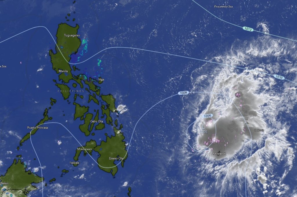
In its 5 a.m. regional weather forecast, PAGASA-Mindanao said Tropical Storm “Caloy” (international name: Hagupit) was estimated at 925 kilometers east of Northeastern Mindanao as of 3 a.m., carrying maximum sustained winds of 65 kilometers per hour near the center and gusts reaching up to 80 kph.
The tropical storm was moving west-northwestward at 15 kph.
Despite the storm remaining far from the Philippine landmass, PAGASA warned residents across Mindanao to expect partly cloudy to cloudy skies with isolated rainshowers and thunderstorms throughout the day and until early Monday morning.
Weather forecasters said the easterlies, or warm winds coming from the Pacific Ocean, continue to affect the entire country, bringing humid conditions and chances of sudden heavy rains, particularly during the afternoon and evening.
Areas under the Zamboanga Peninsula, Northern Mindanao, Davao Region, SOCCSKSARGEN, Caraga Region, and the Bangsamoro Autonomous Region in Muslim Mindanao (BARMM) are all expected to experience similar weather patterns.
Light to moderate winds coming from the northeast to north will prevail across Mindanao, while coastal waters will remain slight to moderate, making sea travel generally manageable for small fishing vessels and other marine transport operations.
Among the hottest areas forecast for Sunday are Agusan del Norte, Maguindanao del Sur, Zamboanga del Norte, Davao del Norte, Davao del Sur, Sultan Kudarat, and Cotabato City, where temperatures may reach up to 34 to 35 degrees Celsius.
Meanwhile, cooler temperatures are expected in upland and interior areas such as Bukidnon and Lanao del Sur, where temperatures may dip between 21 and 22 degrees Celsius.
PAGASA advised the public to remain alert for possible flash floods or localized flooding during severe thunderstorms, especially in low-lying and landslide-prone areas.
The weather bureau also urged residents, fisherfolk, and disaster response agencies to continue monitoring official weather bulletins as Tropical Storm “Caloy” moves closer to the Philippine Area of Responsibility in the coming days.