MANILA, Philippines — Large parts of Mindanao will experience rain showers and thunderstorms over the next 24 hours as the trough of a tropical storm continues to affect the eastern section of the island, according to the regional weather bulletin issued by the Philippine Atmospheric, Geophysical and Astronomical Services Administration (PAGASA) on Thursday.
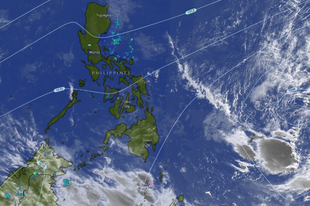
In its 5:00 AM regional weather forecast for Mindanao, PAGASA said the trough associated with the tropical system will bring cloudy skies with scattered rains and thunderstorms over Surigao del Sur and Davao Oriental, raising concerns over possible flooding and landslides.
Weather forecasters warned that moderate to at times heavy rainfall in these areas could trigger flash floods or landslides, particularly in mountainous and low-lying communities.
Eastern Mindanao Under Heavy Rain Threat
Communities in Davao Oriental and Surigao del Sur are expected to bear the brunt of the weather disturbance. Both provinces will experience persistent cloudy skies with rain showers and thunderstorms throughout the forecast period.
Wind conditions in these areas will be moderate to strong coming from the northeast to north, while coastal waters may become moderate to rough, with wave heights reaching 2.5 to 3.4 meters, making sea travel potentially dangerous for small fishing boats and other light vessels.
Temperatures in these provinces are expected to range between 22°C to 32°C.
Authorities are advising residents in landslide-prone villages and riverbanks to remain vigilant, especially during periods of intense rainfall.
Isolated Thunderstorms Across the Rest of Mindanao
Meanwhile, the rest of Mindanao will experience partly cloudy to cloudy skies with isolated rain showers or thunderstorms, mainly caused by localized thunderstorms.
Although rainfall in these areas is expected to be less intense compared to the eastern seaboard, PAGASA warned that severe thunderstorms could still trigger localized flash floods or landslides, particularly in areas with poor drainage or steep terrain.
Affected regions include:
- Zamboanga Peninsula – including Zamboanga City, Zamboanga del Norte, Zamboanga del Sur, Zamboanga Sibugay, and Isabela City
- Northern Mindanao – including Bukidnon, Camiguin, Lanao del Norte, Misamis Occidental, and Misamis Oriental
- Davao Region – including Metro Davao, Davao del Norte, Davao del Sur, Davao de Oro, and Davao Occidental
- SOCCSKSARGEN – including North Cotabato, South Cotabato, Sultan Kudarat, and Sarangani
- Caraga Region – including Agusan del Norte, Agusan del Sur, Surigao del Norte, and Dinagat Islands
- Bangsamoro Autonomous Region in Muslim Mindanao (BARMM) – including Basilan, Sulu, Tawi-Tawi, Lanao del Sur, Maguindanao del Norte, Maguindanao del Sur, and Cotabato City.
Temperature ranges across these provinces will generally hover between 20°C and 33°C, depending on elevation and coastal conditions.
Wind and Sea Conditions
For most of Mindanao, winds will be light to moderate coming from the northeast, with slight to moderate coastal seas ranging from 0.6 to 2.1 meters.
However, areas facing the eastern seaboard, including parts of Caraga and the Davao Region, will experience stronger winds and rougher seas, prompting advisories for fishermen and small seacraft operators.
Public Advised to Remain Alert
PAGASA urged the public to remain alert for sudden weather changes, especially during thunderstorms that could produce strong winds, lightning, and heavy rainfall.
Local disaster management offices are also advised to monitor vulnerable communities and be prepared for possible flooding or landslides, particularly in eastern Mindanao where rainfall may be more persistent.
Residents are encouraged to continue monitoring official weather bulletins from PAGASA for updates as conditions may change within the forecast period.