Cloudy skies with scattered rains and thunderstorms are expected to affect several parts of Mindanao as a trough of a low-pressure area (LPA) continues to influence the region, according to the Philippine Atmospheric, Geophysical and Astronomical Services Administration (PAGASA).
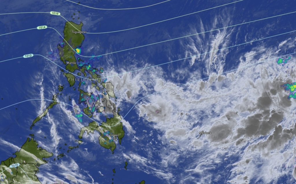
In its regional weather forecast issued at 5:00 p.m. on March 9, PAGASA’s Mindanao Regional Services Division (MINPRSD) said the trough of the LPA is currently affecting the Caraga Region, Northern Mindanao, Davao Oriental, Davao de Oro, and Davao del Norte.
These areas are expected to experience cloudy skies with scattered rains and thunderstorms beginning 5:00 a.m. Monday until 5:00 a.m. Tuesday. Weather forecasters warned that moderate to at times heavy rainfall may trigger flash floods and landslides, especially in low-lying and landslide-prone communities.
Meanwhile, the rest of Mindanao will experience partly cloudy to cloudy skies with isolated rain showers or thunderstorms due to localized thunderstorms. Although rainfall in these areas may be intermittent, PAGASA cautioned that severe thunderstorms may still result in flash floods or landslides.
Across the region, winds will generally be light to moderate coming from the northeast to north, with coastal waters ranging from slight to moderate conditions at around 0.6 to 2.5 meters.
Northern Mindanao, Caraga Under Cloudy Conditions
Provinces in Northern Mindanao, including Bukidnon, Camiguin, Lanao del Norte, Misamis Occidental, and Misamis Oriental, are expected to experience cloudy skies with rain showers and thunderstorms throughout the forecast period. Temperatures in these areas will range between 21°C and 32°C.
Similarly, provinces in the Caraga Region—Agusan del Norte, Agusan del Sur, Surigao del Norte, Surigao del Sur, and the Dinagat Islands—will likely see persistent cloudiness accompanied by rain showers and thunderstorms. Temperatures are expected to range from 23°C to 30°C, with moderate winds and coastal waters.
Davao Region Also Affected
In the Davao Region, Davao Oriental, Davao de Oro, and Davao del Norte are forecast to experience cloudy skies with rain showers and thunderstorms due to the trough of the LPA. Temperatures in these provinces may range from 22°C to 33°C.
Metro Davao and Davao del Sur, however, will likely experience partly cloudy to cloudy skies with occasional rain showers or thunderstorms.
Zamboanga Peninsula, SOCCSKSARGEN to See Isolated Rains
The Zamboanga Peninsula—including Zamboanga City, Zamboanga del Norte, Zamboanga del Sur, Zamboanga Sibugay, and Isabela City—will have partly cloudy to cloudy skies with intermittent rain showers or thunderstorms. Temperatures across the subregion are expected to range from 22°C to 34°C.
Meanwhile, provinces in the SOCCSKSARGEN region—North Cotabato, South Cotabato, Sultan Kudarat, and Sarangani—will also experience similar weather conditions, with partly cloudy skies punctuated by isolated rain showers or thunderstorms.
BARMM Areas Also Affected by Thunderstorms
Areas under the Bangsamoro Autonomous Region in Muslim Mindanao (BARMM), including Cotabato City, Basilan, Lanao del Sur, Sulu, Tawi-Tawi, Maguindanao del Norte, and Maguindanao del Sur, are expected to experience partly cloudy to cloudy skies with possible rain showers or thunderstorms throughout the forecast period.
Temperatures in these areas may range from 20°C to 33°C, while coastal waters will remain slight to moderate.
Public Advisory
PAGASA advised residents, particularly those in areas expected to receive moderate to heavy rainfall, to remain vigilant for possible flooding and landslides. Communities near rivers, mountainous terrain, and other hazard-prone locations were urged to monitor updates from local disaster risk reduction and management offices.
Fisherfolk and small seacraft operators were also advised to observe caution when venturing out to sea due to moderate winds and slightly rough coastal conditions in some areas.
The weather bureau continues to monitor the trough of the LPA and its potential effects across Mindanao. Further updates will be issued as conditions develop.