March 19, 2026
The Philippine Atmospheric, Geophysical and Astronomical Services Administration has warned of widespread localized thunderstorms across Mindanao, bringing partly cloudy to cloudy skies with intermittent rainshowers that could trigger flash floods and landslides in vulnerable areas.
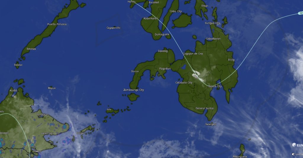
In its 5:00 AM regional weather forecast for Mindanao (MINPRSD), PAGASA said the weather disturbance will persist from early Thursday morning until Friday, affecting all regions of the island with varying intensity.
Thunderstorms to Affect Most Areas
Weather conditions across Mindanao will remain unstable, with isolated rainshowers and thunderstorms expected throughout the day. While some areas may experience only brief downpours, PAGASA cautioned that severe thunderstorms could lead to sudden flooding and landslides, especially in mountainous and low-lying communities.
The Zamboanga Peninsula, Northern Mindanao, SOCCSKSARGEN, BARMM, Caraga, and the Davao Region are all expected to experience similar weather patterns—partly cloudy to cloudy skies punctuated by rain and thunderstorms.
Temperatures across the island will range from as low as 16°C in highland areas such as Bukidnon to as high as 34°C in several provinces including parts of Zamboanga, Davao, and Maguindanao.
Rough Seas in Eastern Mindanao
PAGASA highlighted stronger weather conditions along the eastern seaboard, particularly in the Caraga and Davao regions, where moderate to strong winds blowing from the northeast to north will prevail.
These winds are expected to generate moderate to rough seas, with wave heights reaching 2.1 to 3.1 meters. Coastal communities and fisherfolk in these areas are advised to exercise caution or avoid venturing out to sea due to hazardous conditions.
In contrast, the rest of Mindanao will experience lighter winds, although sea conditions may still range from slight to moderate, with waves between 0.6 to 2.5 meters.
Regional Breakdown
- Zamboanga Peninsula: Intermittent thunderstorms with light to moderate winds; temperatures between 20°C and 34°C.
- Northern Mindanao: Similar weather conditions, with cooler temperatures in Bukidnon and moderate coastal seas in Camiguin.
- Davao Region: Stronger winds and rougher seas, particularly in coastal provinces such as Davao Oriental and Davao Occidental.
- SOCCSKSARGEN: Generally light to moderate winds, but with possible thunderstorms and temperatures reaching up to 34°C.
- Caraga Region: Among the most affected by strong winds and rough seas, especially in Surigao provinces and Dinagat Islands.
- BARMM: Rainshowers and thunderstorms expected across Maguindanao, Basilan, Sulu, and Tawi-Tawi, with generally calmer seas compared to eastern Mindanao.
Public Advised to Stay Alert
Authorities are urging residents to remain vigilant, particularly in areas prone to flooding and landslides. Fisherfolk and small vessel operators are also advised to monitor updates closely due to potentially dangerous sea conditions.
PAGASA continues to monitor weather developments and encourages the public to stay updated through official advisories as localized thunderstorms remain unpredictable and may intensify rapidly.