DAVAO CITY — Residents across Mindanao are advised to stay alert as unstable weather conditions continue to affect the region, with the Philippine Atmospheric, Geophysical and Astronomical Services Administration (PAGASA) warning of possible flash floods, landslides, and hazardous sea conditions from January 28 to 29, 2026.
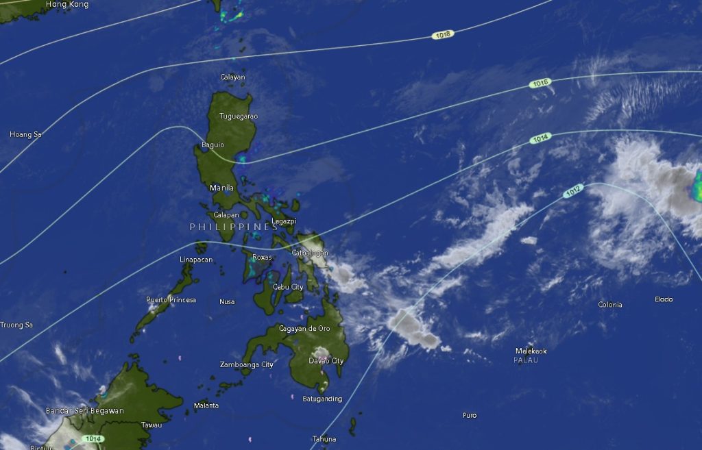
In its Regional Weather Forecast for Mindanao (MINPRSD) issued at 5:00 a.m. on January 28, PAGASA said Dinagat Islands and Surigao del Norte will experience cloudy skies with scattered rains and isolated thunderstorms due to the presence of a shear line. Rains in these areas may be moderate to at times heavy, increasing the risk of flash floods and landslides, especially in low-lying and mountainous communities.
Meanwhile, the rest of Mindanao is expected to have partly cloudy to cloudy skies with isolated rain showers or thunderstorms, mainly triggered by localized thunderstorms. PAGASA cautioned that even short but intense downpours could still cause flooding or landslides during severe thunderstorms.
Strong Winds, Rough Seas Expected
PAGASA also raised concern over strong winds and dangerous sea conditions, particularly along eastern Mindanao.
- Eastern sections of Mindanao will experience moderate to strong winds from the Northeast to North, with moderate to rough seas ranging from 2.1 to 3.6 meters.
- The rest of Mindanao will have moderate to strong winds from the Northeast to East, with sea heights of 1.2 to 2.8 meters, also classified as moderate to rough.
Fisherfolk, small seacraft operators, and coastal communities are strongly advised not to venture out to sea, especially in affected eastern coastal areas.
Regional Outlook
Across Zamboanga Peninsula, including Zamboanga City, Zamboanga del Norte, Zamboanga del Sur, Zamboanga Sibugay, and Isabela City, weather conditions will remain partly cloudy to cloudy with rain showers or thunderstorms, accompanied by moderate to strong northeasterly to easterly winds. Coastal waters in the region are expected to be moderate to rough, with temperatures ranging from 22°C to 33°C.
In Northern Mindanao, provinces such as Bukidnon, Camiguin, Lanao del Norte, Misamis Occidental, and Misamis Oriental will also experience intermittent rains and thunderstorms, with cooler temperatures in upland areas like Bukidnon dipping as low as 19°C.
The Davao Region, including Metro Davao, Davao del Norte, Davao del Sur, Davao Oriental, Davao de Oro, and Davao Occidental, will see similar conditions—cloudy intervals with rain showers and thunderstorms, driven by strong northeast to north winds. Maximum temperatures may reach 33°C to 34°C, particularly in lowland and coastal zones.
In SOCCSKSARGEN, including North Cotabato, South Cotabato, Sultan Kudarat, and Sarangani, residents should brace for occasional heavy downpours and rough coastal waters, with temperatures ranging from 22°C to 34°C.
The Caraga Region remains one of the most weather-affected areas, with Surigao del Norte and Dinagat Islands under persistent cloudy skies and frequent rain due to the shear line, while Agusan del Norte, Agusan del Sur, and Surigao del Sur will experience intermittent thunderstorms.
In the Bangsamoro Autonomous Region in Muslim Mindanao (BARMM)—including Cotabato City, Basilan, Lanao del Sur, Sulu, Tawi-Tawi, and Maguindanao provinces—weather will be generally unsettled, with rain showers, thunderstorms, and moderate to rough seas prevailing.
Public Advisory
PAGASA urged local government units and disaster risk reduction offices to remain on standby, particularly in areas prone to flooding and landslides. The public is advised to monitor official weather bulletins, secure homes against strong winds, and avoid unnecessary travel during thunderstorms.
For updates and further information, PAGASA encouraged the public to visit its official website or contact its hotlines.